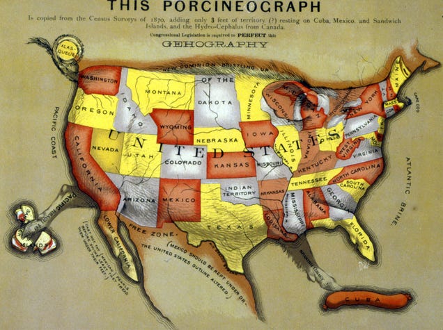
Allegorical, satirical, and comic or serio-comic maps were one of the most popular ways of distributing political propaganda leading up to the Second World War. With countries depicted as human figures, animals, or even monsters, these maps attempted to represent more than just geography—and in doing so, exposed the political biases and sometimes even bigotry of the author.